11 Feet Of Snow Pounds Alaskan Ski Resort, + Asia Braces For A Harsh Winter - Electroverse
Extreme Weather GSM
11 FEET OF SNOW POUNDS ALASKAN SKI RESORT, + ASIA BRACES FOR A HARSH WINTER
NOVEMBER 2, 2021 CAP ALLON
11 FEET OF SNOW POUNDS ALASKAN SKI RESORT
Alyeska Resort in Girdwood has started its snow season in jaw-dropping fashion.
Officially, Alaska’s largest ski resort begins recording its annual snowfall on October 1, but this year historic falls hit earlier than usual with 13 inches “unofficially” settling on September 23:
View: https://twitter.com/resortalyeska/status/1441497059387838467
September’s snowstorm was a mere taster of things to come. Since that official start date of Oct 1, a whopping 136 inches (11.3 feet) of
global warming goodness has accumulated at the top of the mountain (to Nov 1). Breaking down the numbers –data courtesy of
alyeskaresort.com— 22 inches of that fell within the last 24 hours, with the ‘snow depth’ at the summit currently standing at an astonishing 67 inches.
“We got pounded,” said one Girdwood local in an email to me.
“[This is] the most snow I have seen in my 37 years around here,” they added.
Temperatures across
The Last Frontier have held cooler than the average in recent months. This is thought to have been brought about by “much more sea ice in the Chukchi and East Siberian Seas northwest of Alaska,” according to Rick Thoman, climate specialist with ACCAP/IARC at UAF:
View: https://twitter.com/AlaskaWx/status/1455283416438427650
Moreover, and as was the case last season, a lingering anomalous chill contributed to Alyeska holding onto its snowpack into the summer — as reported by climatologist Brian Brettschneider, snow depth on the mountain was still at 98 inches in late May:
View: https://twitter.com/Climatologist49/status/1395793432996552706
Perhaps this season’s heavy snowfall will lead to an early opening of Alyeska’s slopes (currently set for December) — a phenomenon we’re seeing in resorts across North America this season, including those in California and Colorado.
This is already Donner Summit's 2nd snowiest Oct in history, and note: the area is just 1.9" off the all-time record with 5 days left to run.

electroverse.net
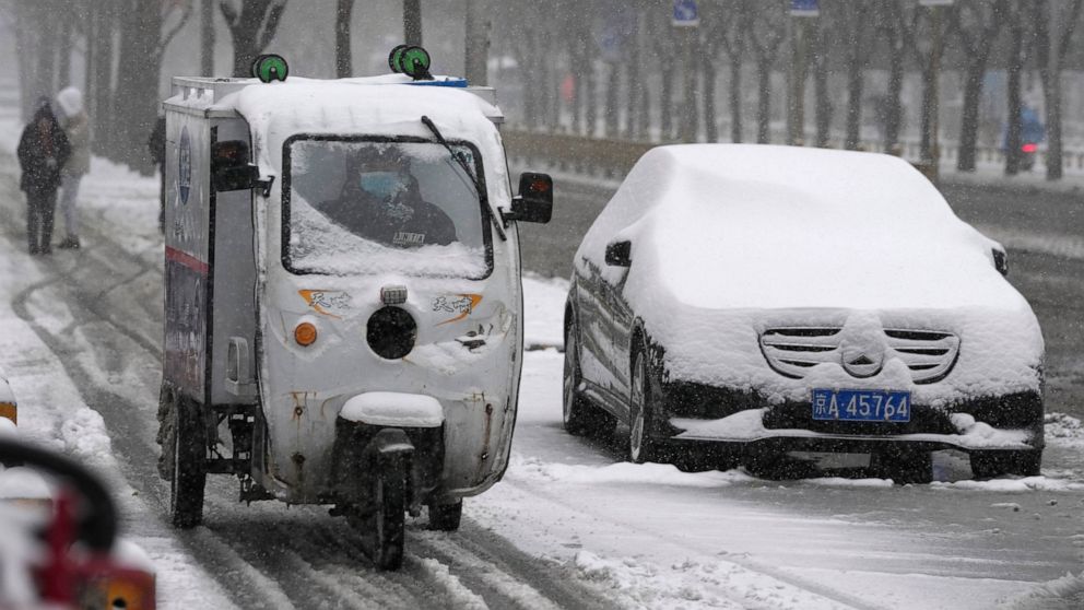
ASIA BRACES FOR A HARSH WINTER
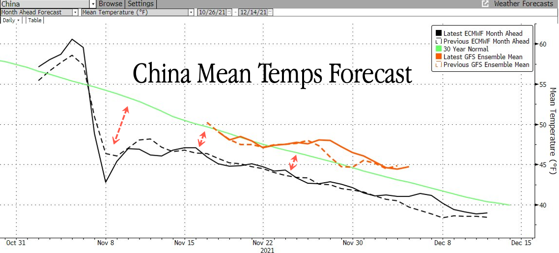
For vast swathes of Asia, including India, China, Kazakhstan, Mongolia and Russia, the La Niña weather phenomenon is on course to deliver another extremely frigid winter–one potentially even more severe than last year’s record-breaker, which, at least in part, led to the intensifying global energy crisis (due to depleted supplies).
Focusing on
India, La Niña conditions are forecast to prevail between December 2021 and February 2022, according to the Indian Meteorological Department (IMD). And with La Niña also impacting the country last year, the cooling witnessed then “is expected to continue to
evolve and may last till early spring of 2022,” reports
firstpost.com.
Last season, a seemingly endless barrage of ‘cold waves’ battered the Republic of India, taking many historic benchmarks with it, but in our world of agenda-driving propagandizing these unprecedented chills went largely unreported. The data doesn’t lie, though:
India is cooling — a fact that correlates neatly with
historically low solar activity and the resulting
weakening of the jet streams (among other forcings).
In October last year, Delhi broke a 58-year-old record, logging a mean minimum temperature of 17.2C (63F).
November saw an even more impressive benchmark fall when the month’s mean minimum temperature dropped to 10.2C (50F), a level last seen in 1949.
December suffered a total of eight ‘cold wave days,’ the highest since 1965. The final month of 2020 also went down as Delhi’s second-coldest since 1901, and also contained the capital’s coldest December day since records began more than a century ago.
New cold records have also been set throughout 2021, and across India.
In January, record snowfall cut-off Kashmir from the rest of the country.
Delhi then suffered its coldest May day in 70 years. The high of 23.8C (74.8F) registered on May 19 went down as the city’s coldest May day since 1951. Also in May, incredibly rare and heavy snowfall was reported in Kashmir, northern India.
India’s historic chill persisted into June. A reading of 17.9C (64.2F) was observed on the first day of the month — Delhi’s lowest June temperature in recorded history. According to data from the IMD, Delhi’s previous coldest-ever June minimum was the 18C (64F) set on June 17, 2006
And most recently, in October 2021, I reported that ‘cold wave conditions’ have
already commenced in the north of the country. Lifted from an
article dated Oct 25, “Regional Met Center data reveals that as many as 13 locales in the state of Odisha have logged minimum temperatures below 20 degree Celsius in the last 24 hours, highly unusual for the month of October.
“In addition, heavy early-season snow has also been pounding the higher elevations of India.
All this doesn’t bode well for India’s winter season which is expected to hold colder than normal due, in part, to a La Niña emerging in region 3.4 of the Pacific … [and also] a weakened jet stream –linked to low solar activity– [which] is primed to exaggerate the chill by funneling colder Arctic air masses into northeast Asia, as well as the northern hemisphere as a whole.”
Total snow mass is off to rollicking start this season, with every data point –thus far– landing well-above the 1982-2012 average:

[FMI]
As is the case in India, these early accumulations (coupled with this year’s impressive sea ice gains) will lead to
colder polar chills dropping down from the Arctic as air masses have to to traverse larger/thicker areas of snow/ice.
Asia’s first truly punishing cold wave of the season is due November 5:

GFS 2m Temperature Anomalies (C) Nov 5 [
tropicaltidbits.com]
The chill will deliver astonishing snowfall totals, to boot:

GFS Total Snowfall (cm) Nov 2 – Nov 18 [
tropicaltidbits.com]
Everything is pointing to this NH winter being a doozy.
Prepare accordingly.
A WORD ON EUROPE
As Europe enters the heating season with natural gas inventories at historically low levels, policymakers, consumers, and industries are unfortunately left at the mercy of the weather.
As reported by
oilprice.com, following the colder than usual 2020/2021 winter, Europe has been struggling to fill gas storage sites to adequate levels in recent months as Asian buyers have been snapping up LNG cargoes. Buyers prefer to ship LNG to Asia where the price of gas per million British thermal units is higher than the equivalent prices in Europe.
Despite the fact that the global gas price surge originated from woefully low inventories in Europe and led to record Asian LNG spot prices, Asia is winning the bidding war for spot LNG supply, leaving Europe undersupplied.
With low gas inventories and an already tight gas market, a colder winter –which of course is exactly what’s predicted– will likely send Europe’s gas prices soaring to
newer record highs, accelerate the rush to coal and oil products, and leave the continent with no gas in storage before the end of the heating season–meaning many homes could go without heating during the coldest month(s) of the year.
For more on that read the
oilprice.com article in full which goes on to suggest that Europe could rely on Russia fill its storage sites.
The
COLD TIMES are returning, the mid-latitudes are
REFREEZING, in line with
the great conjunction,
historically low solar activity,
cloud-nucleating Cosmic Rays, and a
meridional jet stream flow (among other forcings).
Both NOAA and NASA appear to agree,
if you read between the lines, with NOAA saying we’re entering a
‘full-blown’ Grand Solar Minimum in the late-2020s, and NASA seeing this upcoming solar cycle
(25) as “
the weakest of the past 200 years”, with the agency correlating previous solar shutdowns to prolonged periods of global cooling
here.
Furthermore, we can’t ignore the slew of new scientific papers stating the immense impact
The Beaufort Gyre could have on the Gulf Stream, and therefore the climate overall.
Prepare accordingly—
learn the facts, relocate if need be, and grow your own.