It's going into the gulf...somewhere.


Yeah, I read somewhere today that Florida could possibly get up to 30 inches of rain with this system. Talk about adding insult to injury.
Here is the article. https://www.accuweather.com/en/hurr...of-brewing-tropical-trouble-next-week/1698818Yeah, I read somewhere today that Florida could possibly get up to 30 inches of rain with this system. Talk about adding insult to injury.

We just don't need any moreYeah, I read somewhere today that Florida could possibly get up to 30 inches of rain with this system. Talk about adding insult to injury.

Florida can't keep taking these hits10:00 advisory will be designating it as TD-14.
I'ma thinking it will spin up fast and hard.
It's not gonna be a long track, not good. If it builds to a major storm, there won't be time for it to dissipate any.
Will start a breakout thread when they name it as a TS....probably won't be long.


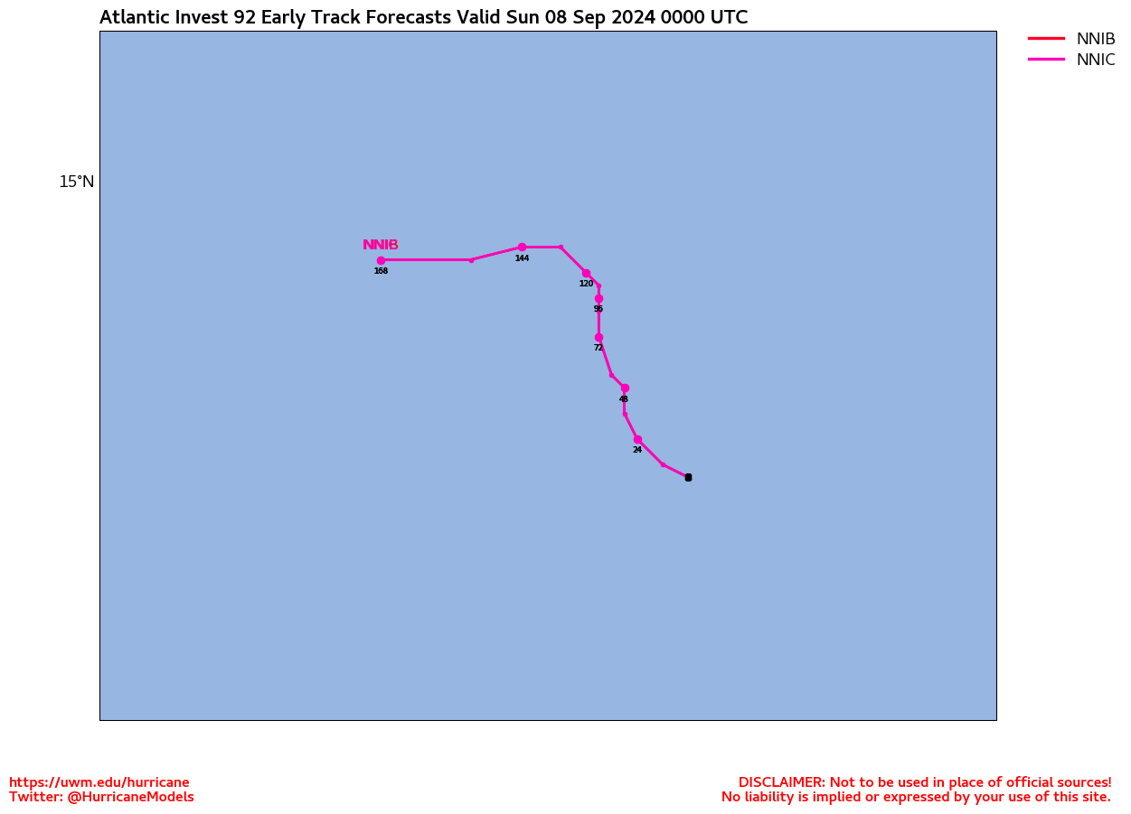
Invest 92L
A significant portion of the Intensity Models are in the Cat-3 range with some at Cat-4.
IMO, this is going to be a bad one.
Rags, are you and yours safe even if she DOES decide to pick up a case of "Hava-Tampa Ceegars"??
| Central Pacific | Eastern Pacific | Atlantic |
Tropical Weather Outlook Text | EspañolTropical Weather Discussion |
Nothing good EVER comes from Africa.That new system coming from affica may track west, instead of hooking north like the last few in that area.
The extreme WAG models are hinting at such.